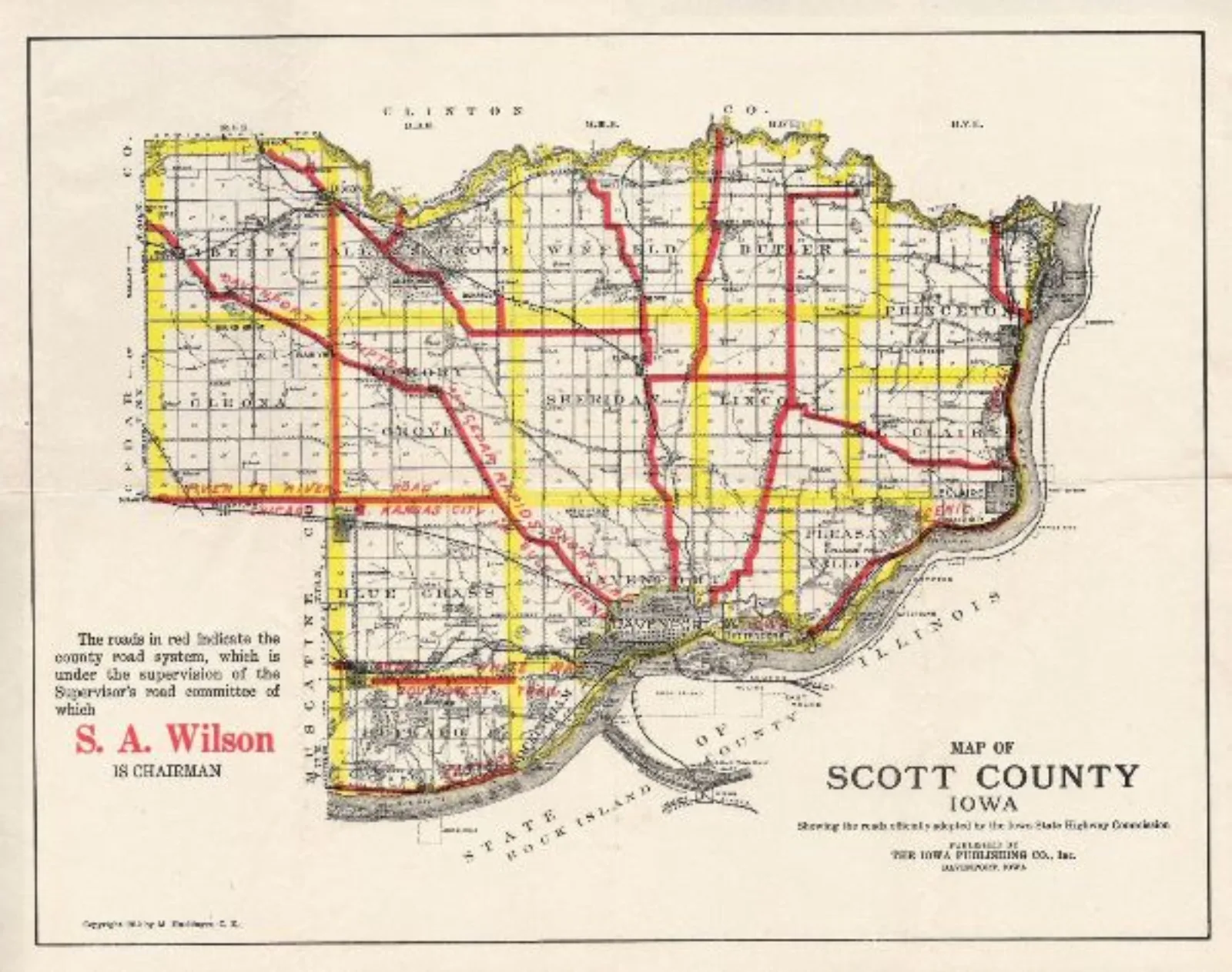
Mike Flaherty will present a lecture on the maps and atlases produced by the nearly forgotten German immigrant cartographer and surveyor Melchior Huebinger. His mapping of Iowa and Illinois spanned from the 1880s to the 1920s and included the production of vanity subscription atlases, military, flood, geologic and soil maps, production of general purpose state atlas, early automobile maps and route guides, and culminated in his incredible twenty dollar 1912 Good Roads Automobile Atlas of Iowa. Huebinger’s maps and atlases chronicled the development of commercial photo lithography, modern map-marketing techniques, the re-use and strategic updating of previous edition maps, and a continuing reliance on state, municipal and corporate subsidies to make his low print runs profitable. His career covered the transition from horse and buggy Victorian maps to modern twentieth-century automobile map production and had prominent displays at both the Chicago and St. Louis World’s Fairs.
Event—Public Programming
Chicago Map Society's January Meeting
