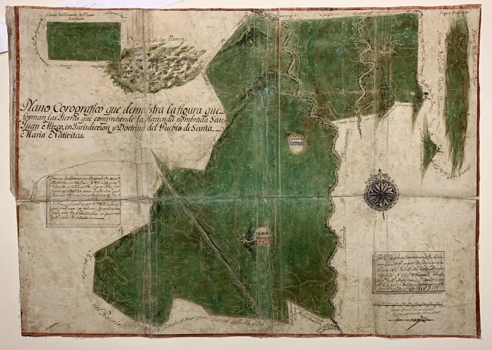
Description
Indigenous people in what we now call the Americas have always produced spatial and geographic knowledge, but not always in forms readily legible to colonizers and settlers. After European invasion, Indigenous people used that knowledge to shape European mapping by acting as informants, guides, enslaved laborers, cartographers, and scholars who provided essential information in areas Europeans knew little about. In doing so, Indigenous mapmakers combined Indigenous languages and visual communication with European cartographic conventions. With particular emphasis on maps made in response to the needs of the Spanish colonial government, this workshop will explore Indigenous contributions to European mapping by comparing Nahuatl maps in the Newberry's collection with other Indigenous manuscripts and early modern maps. Participants in this workshop will gain a better understanding of Indigenous pictorial techniques as well as a robust introduction to the production and circulation of European cartography.
