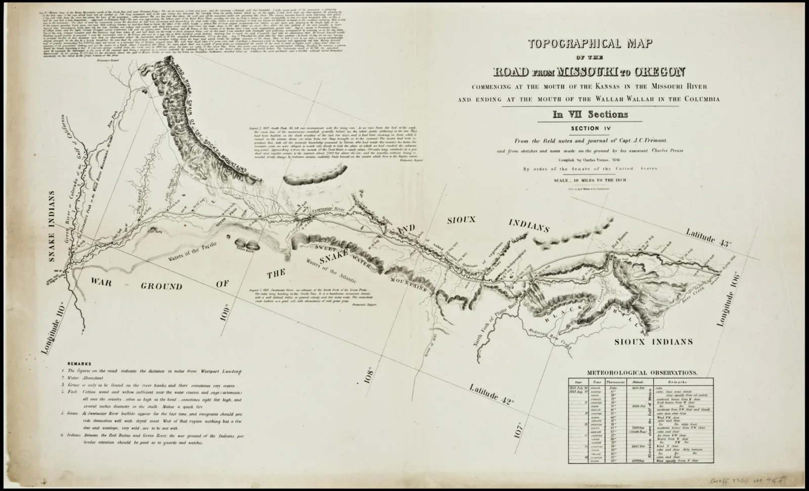
After its use as an overland emigration route for Westward Expansion (1795-1860s), the Oregon Trail has continued to evolve as a landscape of communication and transportation technology: from the US mail service, telegraph lines, Union Pacific Railroad, highways, airplane routes, to its current condition of internet services, pipelines and gas transfer stations, the Oregon Trail is an ever-changing landscape comprised of transportation and communication technologies. The connections between interchanges, settlements, geography and culture persist today in a contemporary territory that holds multiple scales of industrial and economic activity. This presentation will highlight recent archival research on the Oregon Trail, describing the different tools of visualizing its itinerary and landscape through the original maps, surveys and reports of its measurement, and will show how these archival findings influence contemporary maps. How does mapping and drawing synthesize the archival records, primary research and contemporary datasets to envision the Oregon Trail as a metropolitan corridor of cultural activities? How does the historic Oregon Trail persist within a landscape of contemporary infrastructural and cultural networks?
Event—Public Programming
Mobility Corridor: Mapping the Oregon Trail
