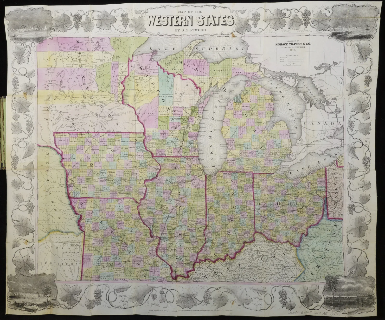
Often called "the Heartland" or "flyover country," the Midwest tends to be characterized as a homogeneous, barren space between the American coasts. This exhibition challenged the assumptions, stereotypes, and persistent narratives about the Midwest, exploring the confluence of peoples and environmental conditions that has defined the region and made it unique.
Spanning roughly 400 years—from the seventeenth century to the twenty-first—the exhibition told a multitude of stories using various Newberry collections, including maps, art, promotional ephemera, archival photos and videos, and personal letters and diaries.
What Is the Midwest? was generously supported by The Andrew W. Mellon Foundation. A series of public programs and a set of digital resources also explored the major themes of this exhibition in the fall of 2019.
The Newberry Library is located on the lands of American Indians, who have persisted longer than the United States has been a nation. We acknowledge that Potawatomi, Odawa, Sauk, Ojibwe, Illinois, Kickapoo (Kiikaapoi), Miami (Myaamia), Mascouten, Wea, Delaware, Winnebago, Menominee, and Mesquakie villages resided and traded along Lake Michigan’s shoreline from precontact through the nineteenth century. The Newberry honors and respects Chicago’s diverse American Indian community.
